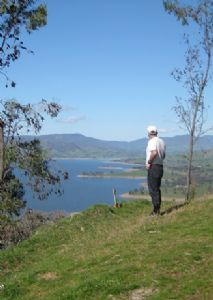
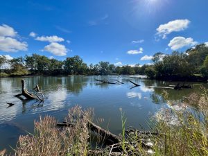
Want to learn how to make a great online walking map? Parklands have an exciting new project on the go, supporting walkers to learn how to create themed digital walking maps featuring the bush parks and hills of Albury Wodonga.
Using your mobile phone, it’s very easy to create a personalised or themed map of your favourite walks, complete with photos of features along the walk. Maps can be themed depending on your interests – perhaps you’re a bird enthusiast, or like to explore local relics and ruins? Create nature walks, walks featuring geology, walks with views, walks with dogs – whatever walk you like. There are some great examples of what people have already done on the Walking Maps site.
The project brings freely available technology together with your daily or weekend ramble. We will provide you with the skills, tips and tools to create great digital walking maps, which will then be available online to inspire anyone wanting to get out for a walk in our beautiful bush parks.
If you’re keen to get involved, please register your interest to connect with our marvelous mapping mentor and get started!
This project is supported by the Victorian Government through the Volunteering Innovation Fund.


