The Eastern Hill Interactive map has now gone live.
Yet another Interactive map joins the Parklands Albury Wodonga catalogue of Interactive maps. This time Eastern hill graces the website with its panoramic views and natural wonder. With our new Interactive map (Viewable Here!), feel inspired to go sight seeing at one of the most panoramic spots in Albury.
What you’ll find?
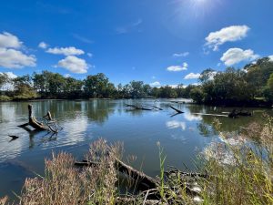
Following on from the momentum of mapping the Nail Can Hill Reserve the much smaller Eastern Hill reserve proved to be a much more straightforward effort. Ground truthing, satellite mapping and GPS’ing the site was quite a joy to undertake. Eastern Hill is home to spectacular and accessible views in all directions. From the sprawl of Albury and Wodonga to natural land marks like Mount Table Top, Lake Hume and the distant snow fields in winter. A part from the panorama however, the reserve is also home to a good array of native flora and fauna on the sun set side of the hill.
So thank you!
For all the support we have gotten from the community. Thank you to the Albury Wodonga Orienteering Club for their historical trail data which has now been updated and modernised. Thank you to the Friends of Eastern Hill for their efforts over the years!
If you would like to help share some of your favourite walking routes please take a look at the Walking Trails Initiative!
See you trail-side!
The maps and the data utilised by them are intended to be free and open for anyone to use download and modify under a Creative Commons Licence 4.0